-

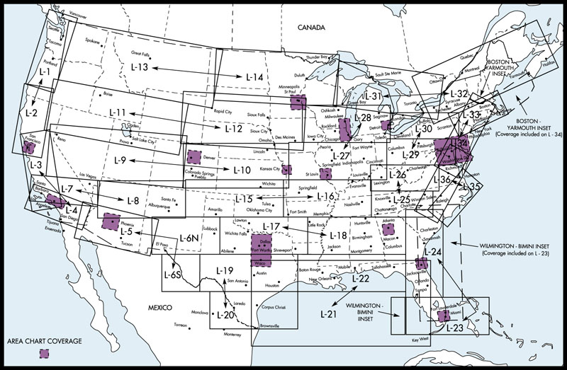
Area Chart A 1/2
FAA AeroNav Products$5.25A 1/2 Area Charts. IFR Enroute Area Charts shows selected congested terminal areas at a large scale. Chart revised every 56 days. A1 consists of Atlanta, Detroit, Jacksonville, Miami, Minneapolis, St. Louis and Washington A2 consists of... -
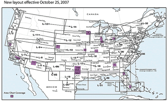
Eastern US Set IFR Low Altitude Enroute Charts
FAA AeroNav Products$57.75EASTSET(L) IFR Enroute Low Altitude Charts, Conterminous U.S. and Alaska, provides aeronautical information for navigation under instrument flight rules below 18,000 feet MSL. Eastern U.S. Set - L15/16 - L17/18, L21/22 - L35/36 and Area Charts -
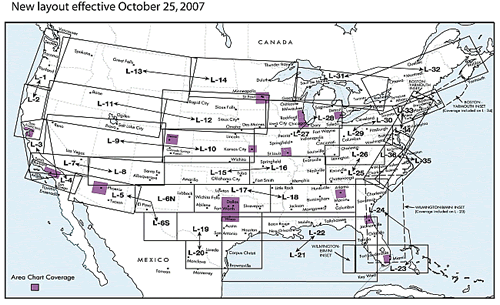
Full Set IFR Enroute Low Altitude Charts
FAA AeroNav Products$94.50FULLSET(L). IFR Enroute Low Altitude Charts, Conterminous U.S. and Alaska, provides aeronautical information for navigation under instrument flight rules below 18,000 feet MSL. Full Set - L1/2 - L35/36 and Area Charts -

L1/2 IFR Low Altitude Enroute Chart
FAA AeroNav Products$5.25L1/2. L1/2 IFR Low Altitude Enroute Chart. IFR Enroute Low Altitude Charts, Conterminous U.S. and Alaska, provides aeronautical information for navigation under instrument flight rules below 18,000 feet MSL. -

L11/12 IFR Low Altitude Enroute Chart
FAA AeroNav Products$5.25L11/12 IFR Low Altitude Enroute Chart. IFR Enroute Low Altitude Charts, Conterminous U.S. and Alaska, provides aeronautical information for navigation under instrument flight rules below 18,000 feet MSL. -

L13/14 IFR Low Altitude Enroute Chart
FAA AeroNav Products$5.25IFR Enroute Low Altitude Charts, Conterminous U.S. and Alaska, provides aeronautical information for navigation under instrument flight rules below 18,000 feet MSL. -
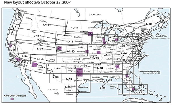
L15/16 IFR Low Altitude Enroute Chart
FAA AeroNav Products$5.25IFR Enroute Low Altitude Charts, Conterminous U.S. and Alaska, provides aeronautical information for navigation under instrument flight rules below 18,000 feet MSL. -
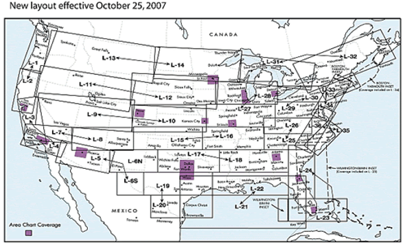
L17/18 IFR Low Altitude Enroute Chart
FAA AeroNav Products$5.25IFR Enroute Low Altitude Charts, Conterminous U.S. and Alaska, provides aeronautical information for navigation under instrument flight rules below 18,000 feet MSL. -
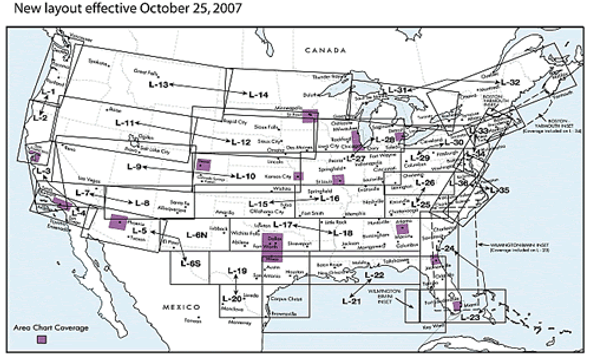
L19/20 IFR Low Altitude Enroute Chart
FAA AeroNav Products$5.25IFR Enroute Low Altitude Charts, Conterminous U.S. and Alaska, provides aeronautical information for navigation under instrument flight rules below 18,000 feet MSL. -
L21/22 IFR Low Altitude Enroute Chart
FAA AeroNav Products$5.25IFR Enroute Low Altitude Charts, Conterminous U.S. and Alaska, provides aeronautical information for navigation under instrument flight rules below 18,000 feet MSL. -
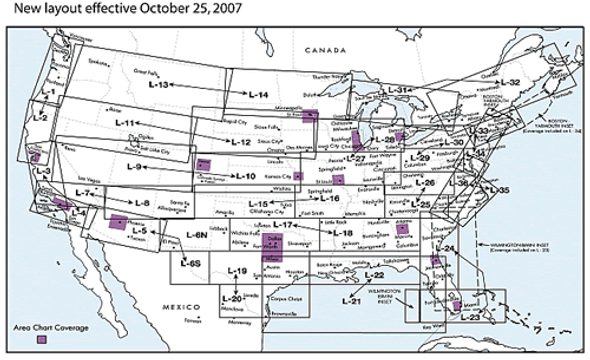
L23/24 IFR Low Altitude Enroute Chart
FAA AeroNav Products$5.25IFR Enroute Low Altitude Charts, Conterminous U.S. and Alaska, provides aeronautical information for navigation under instrument flight rules below 18,000 feet MSL. -

L25/26 IFR Low Altitude Enroute Chart
FAA AeroNav Products$5.25IFR Enroute Low Altitude Charts, Conterminous U.S. and Alaska, provides aeronautical information for navigation under instrument flight rules below 18,000 feet MSL. -
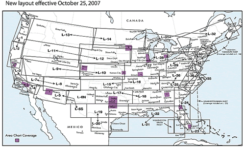
L27/28 IFR Low Altitude Enroute Chart
FAA AeroNav Products$5.25IFR Enroute Low Altitude Charts, Conterminous U.S. and Alaska, provides aeronautical information for navigation under instrument flight rules below 18,000 feet MSL. -

L29/30 IFR Low Altitude Enroute Chart
FAA AeroNav Products$5.25IFR Enroute Low Altitude Charts, Conterminous U.S. and Alaska, provides aeronautical information for navigation under instrument flight rules below 18,000 feet MSL. -

L3/4 IFR Low Altitude Enroute Chart
FAA AeroNav Products$5.25IFR Enroute Low Altitude Charts, Conterminous U.S. and Alaska, provides aeronautical information for navigation under instrument flight rules below 18,000 feet MSL. -
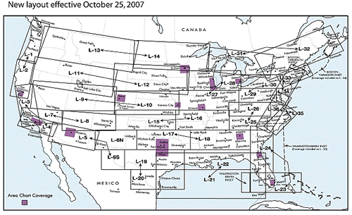
L31/32 IFR Low Altitude Enroute Chart
FAA AeroNav Products$5.25IFR Enroute Low Altitude Charts, Conterminous U.S. and Alaska, provides aeronautical information for navigation under instrument flight rules below 18,000 feet MSL. -
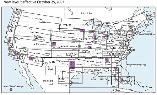
L33/34 IFR Low Altitude Enroute Chart
FAA AeroNav Products$5.25IFR Enroute Low Altitude Charts, Conterminous U.S. and Alaska, provides aeronautical information for navigation under instrument flight rules below 18,000 feet MSL. -
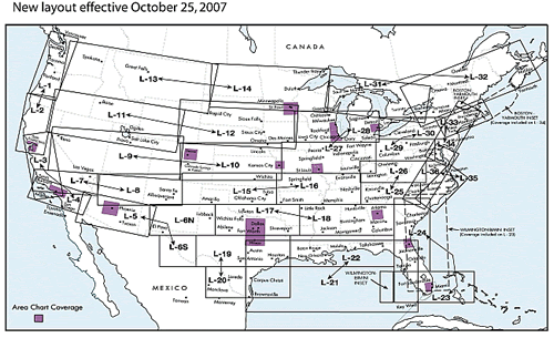
L35/36 IFR Low Altitude Enroute Chart
FAA AeroNav Products$5.25IFR Enroute Low Altitude Charts, Conterminous U.S. and Alaska, provides aeronautical information for navigation under instrument flight rules below 18,000 feet MSL. -
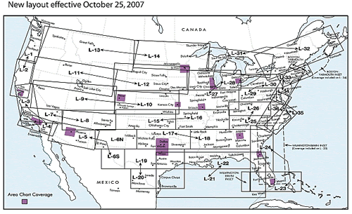
L5/6 IFR Low Altitude Enroute Chart
FAA AeroNav Products$5.25IFR Enroute Low Altitude Charts, Conterminous U.S. and Alaska, provides aeronautical information for navigation under instrument flight rules below 18,000 feet MSL. -

L7/8 IFR Low Altitude Enroute Chart
FAA AeroNav Products$5.25IFR Enroute Low Altitude Charts, Conterminous U.S. and Alaska, provides aeronautical information for navigation under instrument flight rules below 18,000 feet MSL. -

L9/10 IFR Low Altitude Enroute Chart
FAA AeroNav Products$5.25IFR Enroute Low Altitude Charts, Conterminous U.S. and Alaska, provides aeronautical information for navigation under instrument flight rules below 18,000 feet MSL. -

Western US Set IFR Low Altitude Enroute Charts
FAA AeroNav Products$52.50IFR Enroute Low Altitude Charts, Eastern U.S., provides aeronautical information for navigation under instrument flight rules below 18,000 feet MSL Western U.S. Set - L1/2 - L19/20 and Area Charts


